Explore our
analysis products
archive
15 April 2019
Yemen: Conflict in Hajjah
DOCUMENT / PDF / 346 KB
Escalation of conflict in Hajjah governorate, particularly in Abs district, risks displacing up to 400,000 people. IDPs are likely to present acute needs, exceeding the capacities of the current response.
Attached resources
12 April 2019
Yemen: Drivers of food insecurity
DOCUMENT / PDF / 586 KB
This analysis examines the socio-economic conditions underlying Catastrophic levels of food insecurity in 45 districts of Yemen to identify key drivers which made these communities so vulnerable to food insecurity and the risk of famine.
Attached resources
05 April 2019
Niger: Displacement in Diffa region
DOCUMENT / PDF / 925 KB
Over 18,800 people have been displaced in March 2019 in Diffa region as a result of Boko Haram activities and attacks against civilians. In most cases, IDPs have fled without taking their belongings and are in urgent need of shelter, food and NFI support. Assessments conducted in the IDP sites have also shown a need for improved WASH infrastructure. Protection remain a high concerns.
04 April 2019
Afghanistan: Floods
DOCUMENT / PDF / 633 KB
Heavy rainfall since 25 March triggered floods across several provinces in western and northern Afghanistan affecting 17,000 people. As assessments are ongoing and some of the affected areas are difficult to access, the full impact remains unclear. Available information suggests that vast areas of agricultural land have been damaged, and livestock lost, compounding already high levels of food insecurity in the affected provinces.
04 April 2019
Lessons learned: Needs Assessments in Cox's Bazar
DOCUMENT / PDF / 432 KB
This report reflects on lessons learned from needs assessments in the context of the Rohingya crisis. It is based on reviews of assessments in Cox’s Bazar since 2017 and conversations with key assessment stakeholders in the Rohingya response, grounded in global experience and assessment practice.
01 April 2019
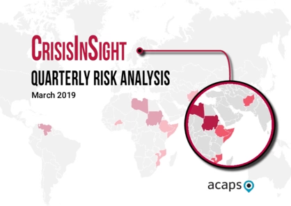
CrisisInSight: Quarterly Risk Analysis
DOCUMENT / PDF / 520 KB
The objective of ACAPS risk analysis is to enable humanitarian decision makers to understand potential future changes that would likely have humanitarian consequences. By exposing the more probable developments and understanding their impact, they can be included in planning and preparedness which should improve response.
29 March 2019
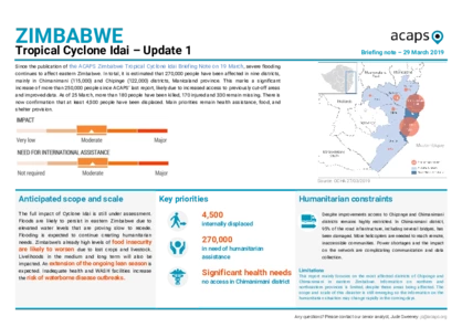
Zimbabwe: Tropical Cyclone Idai, Update I
DOCUMENT / PDF / 406 KB
Since 19 March, severe flooding continues to affect eastern Zimbabwe. In total, it is estimated that 270,000 people have been affected in nine districts, mainly in Chimanimani and Chipinge districts, Manicaland province. This marks a significant increase of more than 250,000 people since our last report.
28 March 2019
Venezuela: Situational update and 2019 outlook
DOCUMENT / PDF / 512 KB
The socioeconomic crisis in Venezuela continued to deteriorate throughout 2018, leading to further collapse of services, deterioration of health facilities, food security, and nutrition among the population, and one of the biggest mass displacements in South America’s history.
27 March 2019
Mozambique: Tropical Cyclone Idai, Update II
DOCUMENT / PDF / 860 KB
Tropical Cyclone Idai made landfall on the city of Beira, central Mozambique on 14 March affecting Sofala, Zambezia, Tete and Manica provinces, bringing wide-spread destruction across parts of Mozambique, Malawi and Zimbabwe. So far there are 1.85 million people affected, including nearly 127,500 people displaced and sheltered in 143 accommodation centres.
22 March 2019
Conflict and displacement in Mali, Niger and Burkina Faso
DOCUMENT / PDF / 664 KB
In the region of Liptako Gourma, overlapping Mali, Niger and Burkina Faso, an upsurge in violence since the beginning of 2018 has led to the displacement of more than 235,000 people. IDPs are in urgent need of food and shelter assistance in particular. Access to health services and education are also constrained for both IDPs and host communities.
19 March 2019
Mozambique: Tropical Cyclone Idai, Update I
DOCUMENT / PDF / 516 KB
Tropical Cyclone Idai made landfall on the evening of 14 March, on Beira city in central Mozambique. Reports estimate that 600,000 people in Sofala, Zambezia, Tete, Niassa, Manica and Inhambane provinces have been affected and are in need of humanitarian assistance.
19 March 2019
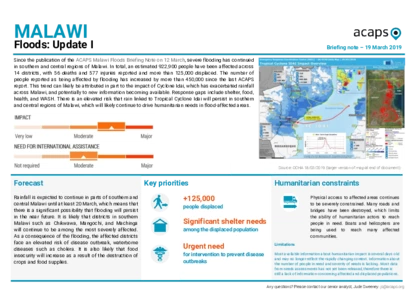
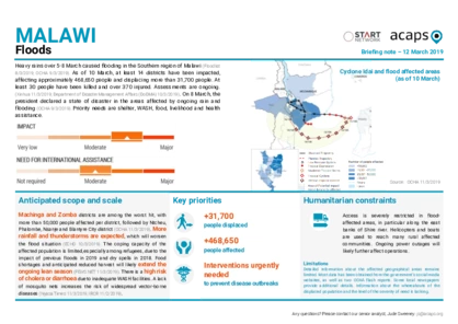
Malawi: Floods, Update I
DOCUMENT / PDF / 386 KB
Since our last publication, severe flooding has continued in southern and central regions of Malawi. In total, an estimated 922,900 people have been affected across 14 districts, with 56 deaths and 577 injuries reported and more than 125,000 displaced.
19 March 2019
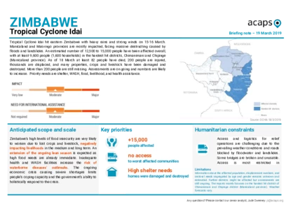
Zimbabwe: Tropical Cyclone Idai
DOCUMENT / PDF / 503 KB
Tropical Cyclone Idai hit eastern Zimbabwe with heavy rains and strong winds on 15-16 March. Manicaland and Masvingo provinces are mostly impacted, facing massive destructing caused by floods and landslides. An estimated number of 12,500 to 15,000 people have been affected overall, with at least 9,600 people in the hardest hit districts.
15 March 2019
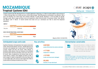
Mozambique: Tropical Cyclone Idai
DOCUMENT / PDF / 410 KB
Tropical Cyclone Idai that developed from a tropical depression beginning on 9 March made landfall on the evening of 14 March through Beira city, Sofala province, central Mozambique. 600,000 people are estimated to be affected. Heavy rains and flooding over recent days have already affected 141,000 people, displaced 17,100 and killed 66 people.
13 March 2019
Afghanistan: Floods
DOCUMENT / PDF / 412 KB
Heavy rains and flooding have affected several thousand people in nine provinces across the country. The most severely affected provinces are Kandahar, Helmand, Farah, Herat and Badghis. The death toll currently stands at 70 people but is likely to increase as more information is made available.
11 March 2019
Rohingya population: WASH needs in Cox's Bazar
DOCUMENT / PDF / 2 MB
This report provides an in-depth analysis of the WASH conditions and needs in the Rohingya camps in Cox’s Bazar. It presents the WASH Severity Index, which classifies the Rohingya population at camp-level into five groups by level of need: very high severity, high severity, moderate severity, low severity, and very low severity.
01 March 2019
Colombia: expanding displacement and protection crisis
DOCUMENT / PDF / 538 KB
Following the signing of the peace agreement between the Government and the FARC in 2016, there has been a reshuffling of illegal armed groups such as the ELN and EPL, with an escalation of fighting for the control of land and illicit crop production in areas vacated by FARC. Over 30,000 people were displaced in mass displacements in 2018, double the amount recorded in 2017.
20 February 2019
Somalia: Drought in Somaliland
DOCUMENT / PDF / 392 KB
The 2018 Deyr rainy season (October-December) was poor, with parts of Somaliland receiving only 25-50% of average rainfall. Some regions have experienced drought for several seasons. Sanaag and Sool are among the regions worst affected by poor rains, with large moisture deficits and drought conditions. The food security situation is worsening in multiple regions.
14 February 2019
DRC: IDPs and refugees to Congo-Brazzaville
DOCUMENT / PDF / 622 KB
Violent clashes involving the Banunu and Batende communities in Yumbi, Mai-Ndombe province, DRC between 16 and 18 December 2018 caused at least 535 fatalities, injured some 150, and displaced approximately 30,000 people. Both the IDPs in DRC and the refugees in Congo-B lack adequate shelter and have lost their livelihoods.


